{domain:"www.qualitydigest.com",server:"169.47.211.87"} Skip to main content

        
User account menu
Main navigation
  • Topics
    • Customer Care
    • Regulated Industries
    • Research & Tech
    • Quality Improvement Tools
    • People Management
    • Metrology
    • Manufacturing
    • Roadshow
    • QMS & Standards
    • Statistical Methods
    • Resource Management
  • Videos/Webinars
    • All videos
    • Product Demos
    • Webinars
  • Advertise
    • Advertise
    • Submit B2B Press Release
    • Write for us
  • Metrology Hub
  • Training
  • Subscribe
  • Log in
Mobile Menu
  • Home
  • Topics
    • Customer Care
    • Regulated Industries
    • Research & Tech
    • Quality Improvement Tools
    • People Management
    • Metrology
    • Manufacturing
    • Roadshow
    • QMS & Standards
    • Statistical Methods
    • Supply Chain
    • Resource Management
  • Login / Subscribe
  • More...
    • All Features
    • All News
    • All Videos
    • Contact
    • Training

Rapid Response to a Collapsed Mine With Artec Jet LiDAR Mapping

Autonomous navigation capabilities become mission-critical when human access isn’t possible

Artec 3D

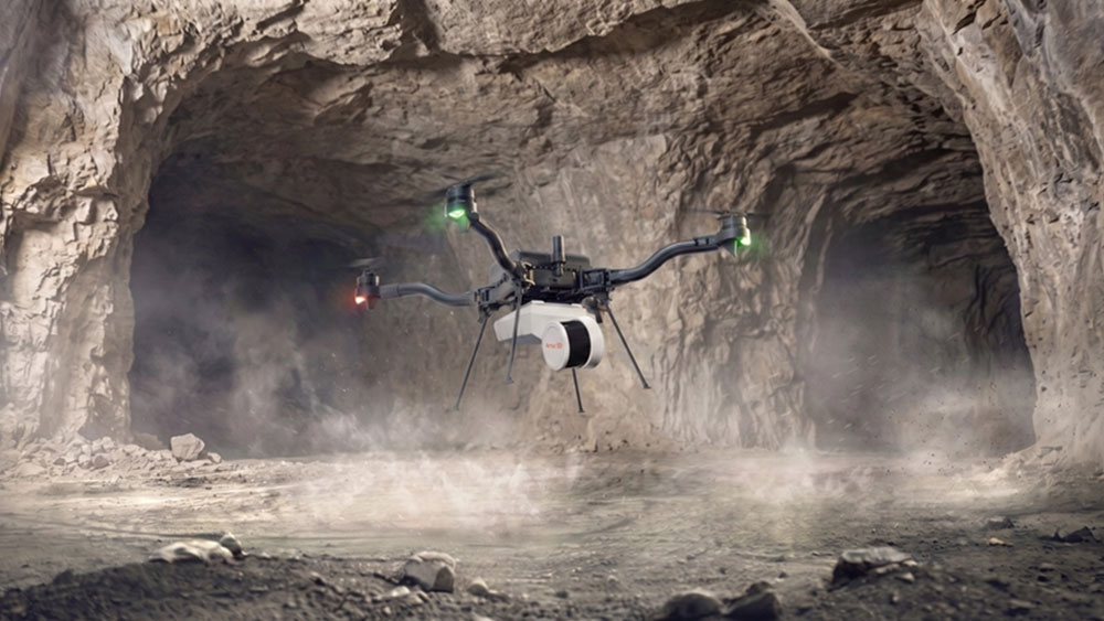
Mounted on a drone, Artec Jet maps a mine.

Paul Hanaphy

Artec 3D

Thu, 09/03/2026 - 12:03
  • Comment
  • RSS

Social Sharing block

  • Print
Body

In the world of mining, structural collapse is a worst-case scenario. Whenever ground gives way, it puts miners at risk—and it often leads to site closure.

ADVERTISEMENT

Once all miners are accounted for, it’s time for the recovery operation to begin. Limited visibility often means it’s difficult to assess conditions in real time. Ventilation may also be blocked, and a further collapse could be imminent, so sending staff to check is impossible.

At a site in Iowa, one operator recently faced ground collapse. So, traditional inspection was completely off the table. The mine was highly unstable, with ongoing rockfalls. Choices were further limited by tight access points and flooding, and being underground meant there was no GPS. So, planning a response was incredibly difficult.
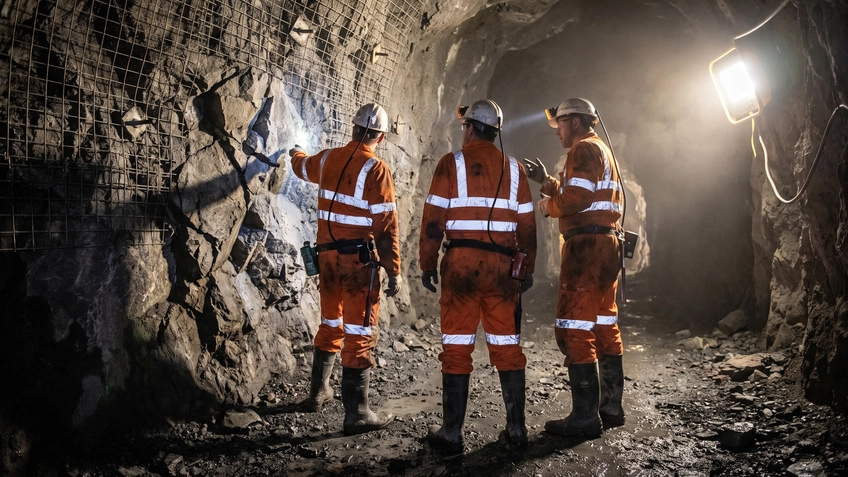

Engineers deployed inside a mine shaft

 …

Want to continue?
Log in or create a FREE account.
Enter your username or email address
Enter the password that accompanies your username.
By logging in you agree to receive communication from Quality Digest. Privacy Policy.
Create a FREE account
Forgot My Password
Top Stories
What FDA Warning Letters Reveal About Records, Spreadsheets, and AI
The Art of Forecasting: Part 1
Avoiding the 7 Deadly Killers of Projects
AI Layoffs Need Evidence, Not Executive Storytelling
ISO 9001:2026 Is Here

Add new comment

Please login to comment.

© 2026 Quality Digest. Copyright on content held by Quality Digest or by individual authors. Contact Quality Digest for reprint information.
“Quality Digest" is a trademark owned by Quality Circle Institute Inc.

footer
  • Home
  • Print QD: 1995-2008
  • Print QD: 2008-2009
  • Videos
  • Privacy Policy
  • Write for us
footer second menu
  • Subscribe to Quality Digest
  • About Us
  • Contact Us