Artec 3D
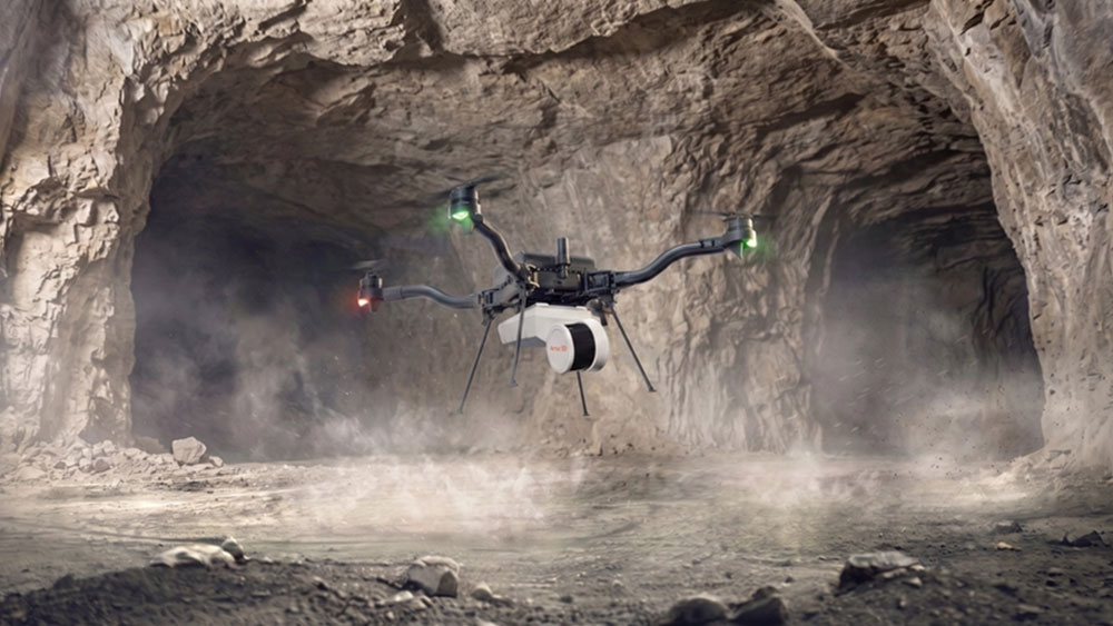
Mounted on a drone, Artec Jet maps a mine.
In the world of mining, structural collapse is a worst-case scenario. Whenever ground gives way, it puts miners at risk—and it often leads to site closure.
|
ADVERTISEMENT |
Once all miners are accounted for, it’s time for the recovery operation to begin. Limited visibility often means it’s difficult to assess conditions in real time. Ventilation may also be blocked, and a further collapse could be imminent, so sending staff to check is impossible.
At a site in Iowa, one operator recently faced ground collapse. So, traditional inspection was completely off the table. The mine was highly unstable, with ongoing rockfalls. Choices were further limited by tight access points and flooding, and being underground meant there was no GPS. So, planning a response was incredibly difficult.
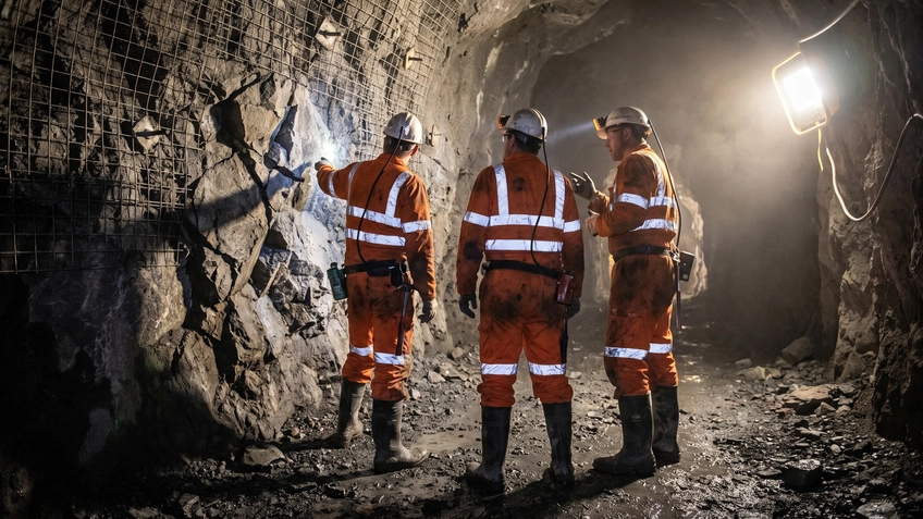
Engineers deployed inside a mine shaft
At this point, the company reached out to a leading industrial service provider. It equipped mine operators with an Artec Jet SLAM-based LiDAR system. Although the device is usable by hand, backpack, vehicle, protective cage, telescopic pole, or via robotic integration, drone deployment was chosen on this occasion to take advantage of Artec Jet’s autonomous surveying capabilities.
Ideal for navigating difficult-to-access areas with zero risk, the drone-borne Jet enabled the team to capture the detailed mapping data required to organize a rapid response.
Mission-critical autonomous navigation
When Artec Jet arrived onsite, it faced numerous challenges that would ground many other drone-mounted solutions. With complete GPS denial and signal drops beyond 110 yards, the device would need to rely entirely on internal guidance to survive. It would also have to maneuver through tight access points with as little as 6–8 in. of clearance.
But as it turned out, Artec Jet was more than up to the challenge. Operating entirely without GNSS assistance, the system used SLAM-based LiDAR to navigate narrow intersections and avoid obstacles while maintaining position. While working beyond communication range for 20 minutes, real-time autonomous decision-making was vital to mission success.

Onsite data analysis being carried out on a tablet
Within 48 hours of the emergency call, Artec Jet had successfully mapped the entire 22-acre collapse zone at a speed of nearly two million points per second. The resulting dense 3D point cloud revealed the condition of surrounding pillars, signs of water impoundment contributing to instability, and safe access routes for future recovery operations.
Pairing LiDAR with 360° camera footage also provided visual context and precise spatial data without anyone having to enter hazardous areas. With more than 40 ft of water, hanging rocks still in the process of collapsing, and pitch-dark conditions, a human pilot would’ve struggled to navigate the mine anyway. Autonomous mapping was the only viable solution.
Gathering actionable intelligence
The value of Artec Jet’s emergency scans was further amplified when the team discovered historical LiDAR data of the same mine captured a year prior. Overlaying the new scans with these baseline data enabled engineers to perform a precise change-detection analysis to see exactly how the ground had degraded over time—despite continuous visible checks.
It was discovered that a few years earlier, another ground collapse had caused “hourglassing” in the mine’s pillars. LiDAR data also revealed that water from a nearby farmer’s field had been channeling into the collapsed zone for an extended period. This concentrated flow contributed to the gradual weakening of surrounding limestone, eventually leading to surface collapse.
This “hidden value” of Artec Jet shifted the operation from reactive documentation to proactive forensic engineering. Understanding the exact factors that contributed to the failure, such as water impoundment and progressive pillar deformation, enabled the mine operator to make data-driven decisions about future site safety and reopen as quickly as possible.

Visualization of data analyses overlaid on a mine shaft
Without a pilot-free mapping solution, it wouldn’t have been possible to gain the data needed for this analysis in the first place. So, mounting Artec Jet on a drone, then activating its smart waypoint-guided autonomous mapping mode to avoid obstacles in the collapsed mineshaft was the only way of quickly and accurately surveying the scene without risk to personnel.
Proactive mapping with Artec Jet
Following the incident, the mine operator recognized that the Artec Jet wasn’t just an emergency tool but a critical component of the safety infrastructure. The company invested in its own system and implemented a rigorous scanning schedule, initially weekly, then monthly, to monitor ground conditions as they stabilized. This proactive approach enabled them to establish new baseline conditions and identify any signs of renewed instability immediately.
Ultimately, prevention is better than any cure. While Artec Jet excels at rapid deployment during a crisis, its greatest value lies in the data it gathers during routine operations. By helping prevent tragedies rather than just documenting them, autonomous 3D mapping is redefining how the industry manages risk—and bringing geotechnical analysis to new areas.
With a range of 328 yards and seven distinct modes, Artec Jet can be deployed to capture large areas with up to 0.2 in. accuracy. Whether used in mining, public safety, or construction, the device delivers detailed data indispensable to inspection in challenging environments.
To discover more about SLAM LiDAR mapping, explore the Artec Jet website or contact sales@artec3d.com to find out how the technology can address your specific needs.

Add new comment